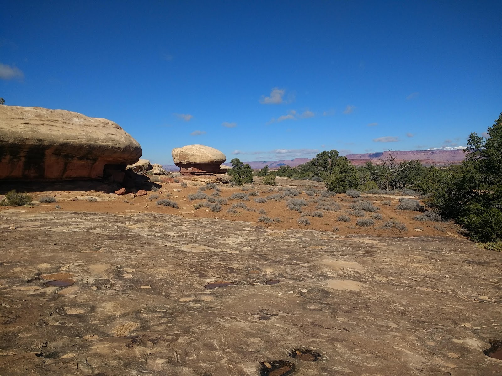
Good-bye, Utah and Hello, New Mexico
(with a nod to Colorado) October 23, 2018
After 10 days in Utah, we said good-bye to our
favorite state to visit and began to get serious about heading south.
We spent one night at Mesa Verde, NP before entering New Mexico
(another great state to visit).
After catching up with good friends
from high school in Ogden and Lindon, Utah we set out for southern
Utah. We made brief visits to Capitol Reef and Arches National
Parks – brief because the campgrounds were full in both parks and
we hadn't planned far enough in advance to make reservations. We
have made several visits to both parks over the years so weren't too
disappointed. We arrived in each place in late afternoon when the
light was perfect for photos.


late afternoon shot

Capitol Dome formation

petroglyphs (above and below)


(with a not so scenic fire hydrant at the Visitor Center)

coyote in the historic orchard, Capitol Reef NP

interesting rock face, Capitol Reef NP

Park near Moab, UT - the pedestrian bridge in the background crosses
the Colorado River to the Arches NP side.

Kris on the pedestrian bridge looking up at cliff on Arches NP side

looking upriver from the bridge

The line of cars waiting to get into the park was quite long so we waited
until an hour before sunset before entering the park. Our national parks
have gotten to be so popular since our first visits 40 years ago.

We have photographed Balanced Rock every time we visit Arches NP.
Here it is glowing in the light of near-sunset.
Our primary destination was Canyonlands
National Park (Needles District). We had never visited this park on
our summer travels and knew October would be a great time of the year
to explore. We took a nice hike on the Slickrock Trail that gave us
great views of the canyons in all directions.

Wilson Arch on the way to Canyonlands NP


Slickrock Trail, Canyonlands NP


taking in the views

Slickrock Trail is marked by stone cairns; this one is quite fanciful.


Strangely eroded rocks along the trail

Driving away from Canyonlands to the main highway, we stopped at Newspaper Rock
to see more petroglyphs. These are almost 2,000 years old.

Our next stop was a new-to-us NPS
location: Natural Bridges National Monument in southeastern Utah.
We hiked to the base of two of the three main bridges and got quite a
workout.


Looking down at Kachina Bridge - hard to see from the overlook . . .

. . . but after 3/4 mile hike down into the canyon, there I am standing under the span.

Petroglyphs carved on the base of the natural bridge


cool ripple marks in the mud under the bridge


Owachomo Bridge

Afterwards, we had several hours of
daylight left and headed south to Goosenecks State Park on the San
Juan River. The most direct route took us through three miles of
gravel road through the Moki Dugway that took us down 1,000 feet of
elevation at 10% grade from the top to the valley below – not for
the timid driver. (After googling 'Moki Dugway" we learned it was built in 1958 to transport uranium ore from the mesa top to the town of Mexican Hat below.) Brian has become a pro at negotiating narrow,
winding roads without guardrails! Our visit to Goosenecks was late
in the afternoon so not the best lighting for photos. The park has
really changed since our last visit – there is now an entry fee and
the camping is not free anymore. Quite a few visitors were out there in
this remote part of Utah.

warning sign at the beginning of the Moki Dugway
There was also a sign saying RVs were not recommended, but we saw some anyway!
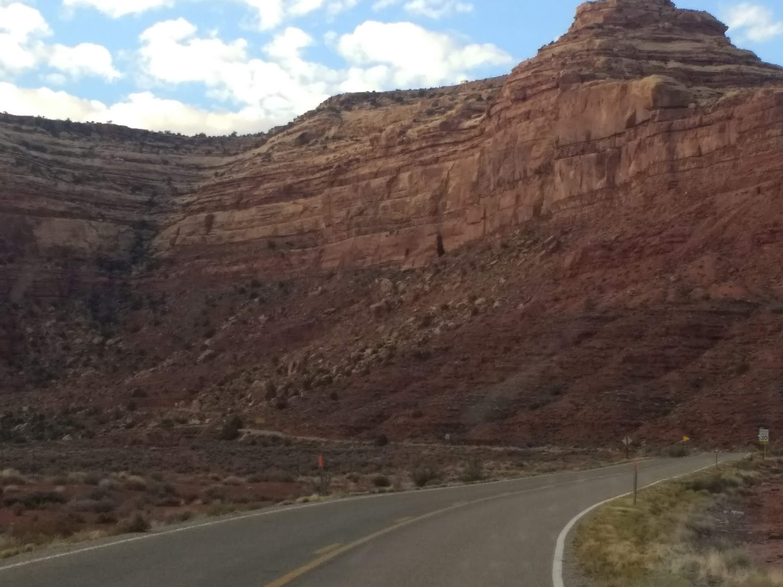
This is at the bottom before heading back up THAT cliff.

view from the top

That's where we were headed

Goosenecks of the San Juan River
In geologic terms, this is an entrenched meander with the river 1,000 feet below the mesa.
My father took a photo of this place in the 1950s and I was always fascinated with it as a kid.

From the overlook, you can see the river almost doubling back on itself four times.
Before leaving Utah, we wanted to visit
another site we have not made the journey to before: Hovenweep
National Monument. It was established in 1923 but is little known.
Here the NPS preserves some ancient ancestral Puebloan ruins. The
intricate masonry of the stone structures is exemplary and they are still standing after
seven centuries. We took a great hike around the canyon behind the
visitor center but did not venture out to any of the sites that
required driving on bumpy gravel roads.

With the shorter days of fall, we are usually up and on the road before sunrise. This is our reward.

Mule Canyon Ruins - kiva


looking across the canyon at the beginning of our hike


Right after Hovenweep we crossed the
state line into Colorado and traveled to Mesa Verde National Park.
We were able to get a campsite as the campground wasn't due to
close for another two weeks, but the ranger-led tours of the cliff
dwellings were over for the season. We did drive out to view Spruce
Tree House from the overlook – it was closed because of potential
rock falls. We were not too terribly disappointed in our trip
to this because we have climbed ladders and squeezed through narrow
passageways up to the cliff dwellings on previous visits. (Note: Our son and his wife were able to take cliff dwelling tours when they were at Mesa Verde in September.)

Spruce Tree House - Mesa Verde NP


Everywhere we look, we see the cottonwood trees showing off their color.
We saw miles of them today while driving through the Rio Grande Valley near Los Alamos, but the rainy conditions were not good for photos. I hope to get better ones tomorrow.
After just one night in Colorado, we
set off for New Mexico. We were able to get an oil change in
Farmington and do some much-needed grocery shopping. After dry
camping for three days, we refreshed ourselves at the aquatic center
showers in town for a small fee. (Note: While some campgrounds are still
open this late in the season, most have turned off the water taps so
we make sure we have 3 or 4 gallons with us for cooking and
dishwashing. I have come to regard vault toilets as luxuries - at times we find ourselves in dispersed camping situations where they are nowhere to be found.)
One of the things we like best about
traveling without an itinerary is the surprises we encounter. After
leaving Farmington, we headed out into BLM land for free camping at
Angel Peak Recreation Area. We left the paved highway and headed out
on a well-maintained gravel road to a nice campground six miles away and this is
what we found:

Angel Peak Recreation Area (BLM) - we were surprised to see these badlands.

View of Angel Peak from our campground

Sunset from Angel Peak Campground
Today we drove through intermittent
rain past some previously-visited locations through Jemez Mountains to Los Alamos, NM. The
weather prevented us from camping at Bandelier National Monument so
we settled into a motel and hope for better weather tomorrow. Also,
it is time to do laundry again. (It's not all surprises and excitement on
extended road trips.)

We visited Valles Caldera near Los Alamos 8 years ago before it became part of the
National Park Service. We took a van tour deep into the caldera to see the historic ranch.

portion of the caldera on a rainy afternoon
Seen while geocaching:

Brian is on the far left side of this interesting rock formation replacing the geocache.
If this has a name, we don't know what it is.

Kris hiking out to the big rock formation near Angel Peak. We went out there to replace
a geocache that hasn't been found in three years (with cache owner's blessing).

Angel Peak Campground - we didn't know there were any geocaches out
there until we realized we had a cell phone signal and used the app to check.

There was a geocache in the middle of the bridge near Moab.