Saturday, June 24, 2023

Alaska Highway Completed

Saturday, June 24 


We are now in Delta Junction, Alaska just a few miles from Fort Greely where my father was posted in the winter of 1955-1956.  He didn't talk much about his Army days, but his work involved testing equipment under extreme weather conditions so he was here in the winter. (After Alaska, he was posted to Dugway Proving Ground in the desert of Utah.)


From Whitehorse, Yukon Territory, we resumed our trek on the Alaska Highway to Haines Junction and visited Kluane National Park.

We camped at Kathleen Lake and enjoyed an evening stroll along the lakeshore.
I used my trekking poles because the side effect of my 
anticonvulsant medication is dizziness.


A beautiful spot to find a pair of the Canadian national parks red chairs.


Our visit coincided with the Solstice so we had lots of hours of daylight to explore.

11:35 p.m. with sun still visible through the trees

View from our campsite at 5:15 the next morning.  I love how the morning sunlight lit up the mountain.


The building that houses the Kluane NP Visitor Center is also the center for First Nations people in the area.  As we arrived there on National Indigenous People Day, we were greeted by an elder and invited to attend a luncheon with traditional stew and bannock bread.  Yummy!


A travel guidebook recommended sourdough cheese sticks from a local bakery, so we arrived just before it opened the next morning at bought some.  They were worth waiting for!


The Alaska Highway swings northward from Haines Junction and follows the shore of Kluane Lake.
The hike to Soldier's Summit where the ribbon cutting for the highway was held in 1942 was fairly easy and afforded great views.


Slims River with its heavy load of silt from Kaskawulsh Glacier enters Kluane Lake
below Soldier's Summit.

I used my trekking poles again.


From this point, the journey became tedious and grueling.  The information I read before leaving home about road conditions was all true ... long stretches of gravel, deteriorating asphalt, road construction delays, potholes.  Just when we thought we could pick up some speed, another rough patch appeared.  Yippee!  we get to do it all over again in a few weeks when we leave Alaska.  


The plus side ?  wildlife sightings - I didn't get pictures of the moose and beaver because they
moved too quickly, but this guy just leisurely ambled along the side of the road and then crossed
right in front of our stopped vehicle.


After leaving Beaver Creek, YT early on June 23, we drove 19 miles to the US border and made a stop for the photos.  A bit farther on, we came to the Customs building, the agent asked a few questions, then said "Welcome Home."  A very quick and easy border crossing.  (I hope the next two are as easy as the first two.)


Brian FINALLY reaches his 50th state!  (I visited Alaska in 1975 before we were married.)


Midway Lake, AK


Alaska is as beautiful as we expected.


We reached the town of Tok, but changed our minds about staying overnight there.  We celebrated our arrival with a great breakfast at a restaurant and continued on to Delta Junction, where the Alaska Highway officially ends.  Here in Delta Junction three days after the Solstice, sunset was at 12:16 a.m. and sunrise was 3:13 a.m.  with 3 hours of twilight in between.  We are normally early risers when we travel and usually leave campsites before sunrise...kind of hard to do that up here.   Brian made cardboard window covers for the van so we are able to sleep without the sun in our eyes.


Our van picked up some dirt in Yukon Territory and brought it to Alaska.
We have seen numerous dirty vehicles and RVs here in Delta Junction.


I used Windex wipes to clear road grime so I could affix the decal I bought back at
Mile Zero in British Columbia.  The Visitor Center will give you a completion
certificate for a $3.00 fee - we declined because we had this sticker.


About 5 miles south of Delta Junction is Fort Greely.  We drove out to take a look and stopped at a nearby rest area.  A nice gentleman stopped by to talk and let me take a picture of his t-shirt.

Thinking of my father 


Information sign at the rest area

I don't think they sold t-shirts when my father was there.


Early this morning, we drove about 20 miles south of town on the Richardson Highway.  The clear morning air brought the eastern front of the Alaska Range into sharp focus.  The highest mountain is Mount Hayes (13,832 feet) but it is not nearly as big as Denali about 100 miles to the west.

Eastern side of the Alaska Range 


Donnelly Dome - there is a geocache at the top. 10 or 12 years ago we probably would have
hiked up there to look for it.  We are past those days now.

As the morning wore on, clouds started building up.


Alyeska Pipeline viewpoint where the pipeline is buried under the Richardson Highway, but above 
ground in both directions.   When I spent the summer of 1975 in Alaska with relatives, the pipeline
was VERY controversial.   Also in the news that summer? moving the capital from Juneau (didn't happen)
and renaming Mount McKinley to Denali (did happen).

The vertical structures are there to release heat from the pipeline and prevent thawing of the ground.


panorama of the Alaska Range

Donnelly Creek - 


Back in Delta Junction, Moby gets a bath.


Tuesday, June 20, 2023

Alaska Highway Part 1

 June 20, 2023


With the first 887 miles of the Alaska Highway behind us, I am in the public library in Whitehorse, Yukon to update this blog.  We plan to cross into Alaska in two days.  The weather is warm and sunny today, but we encountered sleet and snow two days ago.  The highway so far has been good with just one half-mile stretch of gravel where repairs were made in a rockslide area.  We hope this is an indication of what is to come.


Since our last blog posting, we started off on the Alaska Highway at Mile Zero in Dawson Creek, British Columbia.


Pretty light out at 4:30 a.m. but we were ready to get on the Alaska Highway!


What you hear about rock chips on the Alaska Highway is true.
This one happened on our first day.

Lots of wildfire smoke between Dawson Creek and Fort Nelson, BC
We observed many helicopters with dangling water buckets.


From Fort Nelson, we made a detour of 84 miles to Northwest Territories... when are we ever going to be this close again?


Of course, we had to find the geocache there.

Unusual construction method for an outhouse at the territorial border.

We saw lots of wildlife along the road.  We drove that highway early in the morning so we saw more bears than vehicles.  In fact, we didn't see any other vehicles until we were on our way back south to the Alaska Highway.

We saw this lynx sitting in the middle of the road, but luckily it didn't
move too far away as we approached.

One of 4 bears we saw that morning.  We also saw an elk cow with calf
and several wood bison.

We camped at Stone Mountain Provincial Park on the shore of Summit Lake.  We woke to slushy sleet on the windshield and encountered a snow flurry a few miles down the highway.  We thought we might have to skip a soak in the Liard River Hot Springs because of this weather, but as we descended in elevation, the weather improved.


Liard River Hot Springs, one of the popular stops along the Alaska Highway and the reason
I packed our swimsuits.


Continuing westward, we saw several more bears and groups of bison (with calves), but have not seen any moose yet.


Next major milestone was the Yukon border.  This informal wooden sign was covered in stickers so we had to add ours.  (We bought the stickers at Buc-ee's in Madisonville, TX on our ill-fated first attempt on this trip.  We intended to distribute them at an event in Saskatoon, but that plan fell through.)


We came prepared for another popular stop in Watson Lake - Sign Post Forest.  We had a metal Texas flag that we purchased when we hoped to make this trip five years ago.  After a recent visit to our college alma mater, we also brought the license plate holder the Alumni Association gave us.  There are 100,000+ signs there now, so finding a spot to install ours was challenging.  We ended up putting it sideways while another visitor who didn't speak English indicated she wanted to take a photo of us while putting it up.  If any of you reading this are ever in Watson Lake and want to find our sign, good luck - there are thousands from all over the world.


We stopped at a First Nation community of Teslin and  visited the George Johnston Museum.  George's life was quite interesting.  He bought a mail order camera in the early 20th century and taught himself photography and how to develop his own pictures.  He spent years documenting the lives of his people through black and white photos.  In 1928, he bought an automobile and had it barged into this roadless town, hand-cleared a three mile "road" (later used by the engineers of the Alaska Highway in 1942) and drove it on the 90-mile Teslin lake in winter.  The museum had nice displays of Tlingit artifacts as well as the car itself.

George Johnston Museum in Teslin, Yukon


Tlingit button blanket


It took a lot of gophers to make this blanket!


We are now in the Yukon territorial capital of Whitehorse, population 27,850 (The whole territory has only 44,000 people.)  Quite an interesting city to visit and a nice variety of attractions.  We will leave in the morning to continue our journey to Alaska.


Canoeists in Miles Canyon

Columnar Basalt in Miles Canyon


Yukon River


On the pedestrian bridge over the Yukon

Brian (yellow shirt) on the pedestrian bridge that got us to the hiking
trails on the other side.


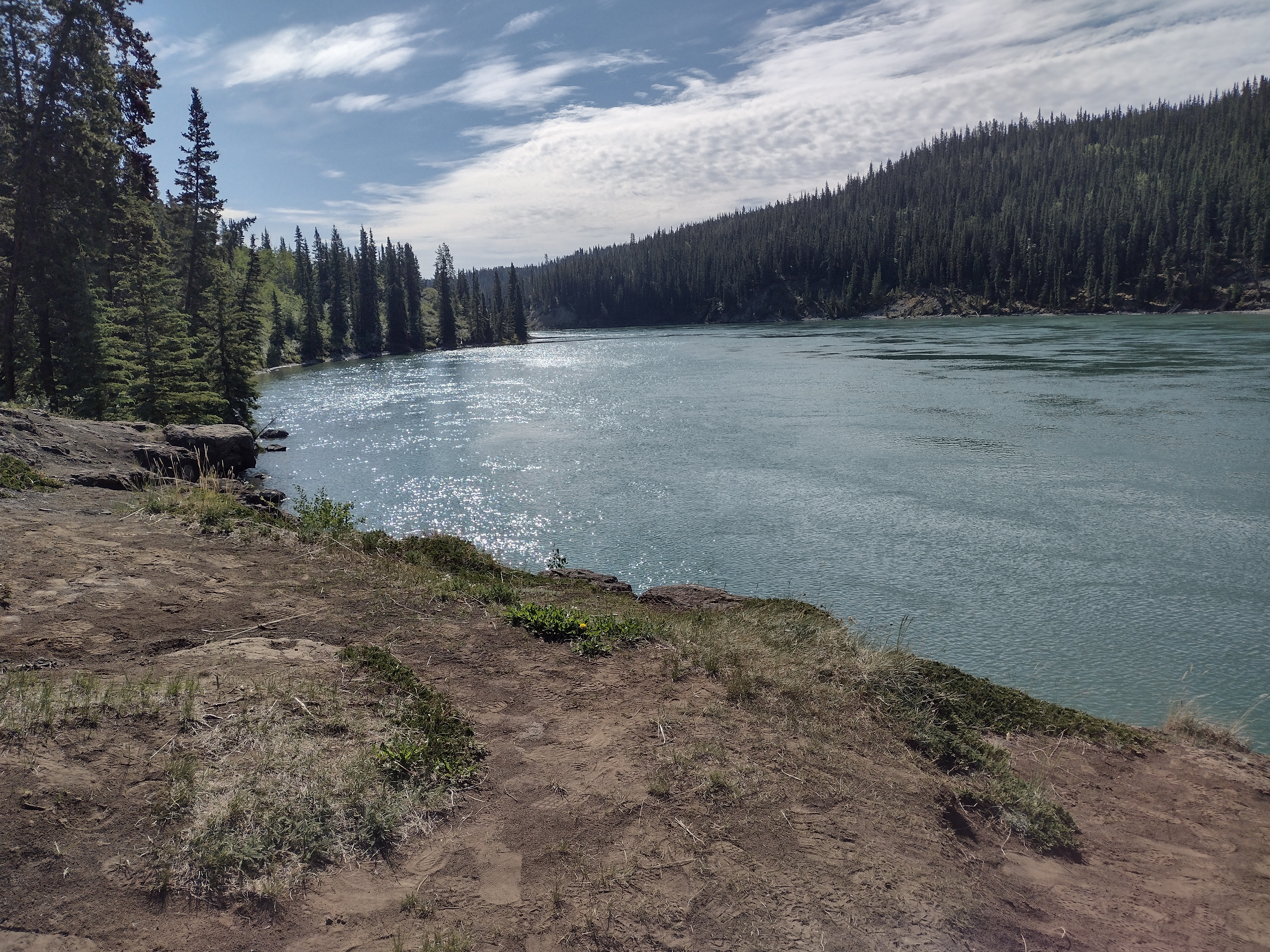
Yukon River where it enters Miles Canyon


Other sights in Whitehorse:

SS Klondike National Historic Site - last plied the river in 1955


boilers


This is how wood was brought on board to fire the boilers.


Brian looks so small next to the paddlewheel.


Yukon Beringia Interpretive Center
Very interesting place to learn about ice age animals

Mammoth skull


steppe bison skeleton

preserved horse hide - 30,000 years old

preserved gray wolf

preserved caribou


ice age beaver - we think the Bucee beaver in Texas is cuter


Seen while geocaching:


We HAD to find "Logan's Cache" in Whitehorse


World's largest windvane - a retired Douglas DC-3,
we sat and watched it move with the breeze.


sculpture of horse overlooking the city of Whitehorse, Yukon


60th Parallel between British Columbia and Yukon Territory

abandoned equipment used to construct the highway

Hippie Inn with ...

travel bug hotel mounted on the back


Sculpture of Robert Service's desk in downtown Whitehorse with this on the desktop...