Est-ce que quelqu'un a dit: «Quand au Québec, les Québécois font-ils? Eh bien, en accord avec la langue locale, cette publication se fera en français! ... J'espère vraiment que vous avez prêté attention si vous avez pris le français en lycée! Cela a été un défi jusqu'à présent, puisque je n'ai pas beaucoup prêté attention à la classe française de Mme Lavender, car c'était juste après ma classe allemande 2. À quoi je pensais?
Nous avons réussi à voir un certain nombre de choses, et à en comprendre quelques-uns jusqu'à présent. Heureusement, certaines personnes parlent assez d'anglais pour pouvoir comprendre beaucoup de choses. Geocaching, cependant, est beaucoup plus difficile, car nous n'avons pas la moindre idée la plupart du temps. Je ne peux vraiment pas voir comment quelqu'un peut vivre dans une zone pendant une période quelconque, et ne pas apprendre la langue parlée ici.
Eh bien, assez d'amusement pour l'instant! Je vais passer à Kris pour le blog normal, écrit par Kris.
Ha! Ha! Fooled you! Here is the translation:
Has anyone said, “When in Quebec, do a Quebecers do?' Well, in keeping with the local language, this post will be done in French!.. I really hope you paid attention if you happened to take French in High School! It has been a challenge so far, since I didn't pay much attention in Madame Lavender's French 1 class, since it was right after my German 2 class. What was I thinking?
We have managed to see quite a few things, and understand a few of them so far. Luckily, some of the people speak enough English that we can understand a lot of things. Geocaching, though is a lot more difficult, since we don't have a clue most of the time. I really can't see how anyone can live in an area for any period of time, and not learn the language that is spoken there.
Well, enough fun for now! I'll turn it over to Kris for the normal blog, written by Kris.
On August 7, we crossed the St. Lawrence River into Ontario from New York and within an hour, were dining on poutine . . . YUM! We camped at a provincial park at a site right on the Ottawa River with a nice view. We drove around Montreal and north to La Mauricie National Park and took a few short hikes.

on the way to La Mauricie National Park, Quebec

banners celebrating 150th anniversary of Canada's Confederation

early morning at Les Cascades, La Maurice National Park
Then it was on to Quebec City where we had reserved a campsite for a few days just outside the city. We have learned that it is best to start our explorations early in the day so that is what we did in the old part of the city. We joined a double-decker sightseeing bus tour with hop on/hop off privileges and got a good overview before we began exploring on foot. I don't know how the bus driver managed to steer through the narrow streets and tight turns, but it was a relief to let someone else do the driving.
Chateau Frontenac, supposed to be the most photographed hotel in the world

Champlain monument at Chateau Frontenac, Vieux Quebec

sculpture by Salvadore Dali, it's for sale ($1 million plus)

St-Roch church

painted highway underpass


near the Citadelle

Citadelle de Quebec

Chute-Montmorency near Quebec City
We declined the opportunity to zip-line in front of it.
View from the pedestrian bridge over Chute-Montmorency
That is the bridge over the St. Lawrence river to Ile d'Orleans.

Church of Sainte-Famille, oldest on Ile d'Orleans

charnel house behind the church, used to keep the deceased before they can be buried in spring

Basilica Ste-Anne-de-Beaupre -candlelight procession

interior of the basilica

ceiling
Leaving Quebec City behind, we went over to the south shore of the river to the town of L'Islet-sur-mer in search of the Caron Monument. Kris's maiden name, Carrow, has its origins as Caron. We found the monument and spent time viewing the village church, Notre-Dame-de-Bonsecours with its beautiful artwork. When visiting this part of Canada, you can tell when you are approaching a village or town because you see the tall steeples of the churches from several miles away. We also explored the nearby town of Saint-Jean-Port-Joli and area museums.

Accordion Museum in Montmagny


my ancestors

Notre-Dame-de-Bonsecours


Reputed to be the "Caron Chapel" by a young woman at the Visitor Info Center, it has no identifying signage.


Sand sculptures at L'Islet-sur-mer


Musee de sculptures sur bois des Anciens Canadiens


Panorama photo from Champlain Peak at Parc du Bic, St. Lawrence estuary


Ile-aux-Amours at low tide
You can't drive around the coast without visiting a few lighthouses, so we did.

Pointe-au-Pere Lighthouse

Pointe-a-la-Renommee, where Marconi established North America's first maritime radio station.

Cap-des-Rosiers
The highlight of our visit to Forillon and Gaspésie was a whale-watching cruise out into the Gulf of St. Lawrence. We saw many white-sided dolphins who had recently made their annual appearance, minke whale, and several fin whales (second largest whales in the world). Blue whales had been spotted in the area a few days before, but we were not fortunate enough to see one. Photos on a small moving boat of distant moving targets are difficult to get, but Brian was able to capture video with the sounds of the whales inhaling and exhaling. It was possible to do this because the water was calm enough for the captain to stop the engines. This was our first encounter with whales and we hope to have more in the future.

Yes, we really did go about 6 miles out to sea in that little boat!

Whale-watching in the Gulf of St. Lawrence
Click here for a whale video


Gaspe Peninsula

That little speck of white on the cliff behind us is the lighthouse at the end of the peninsula that we hiked to.
After whale-watching, we set off on a 5 mile roundtrip hike to Land's End at Cap Gaspe on the terminus of the International Appalachian Trail. We stopped to watch playful seals who seemed to be watching us as much as we were watching them!

cooking breakfast before the hike to Land's End - gorgeous morning on the Bay of Gaspe

The splash of a seal and the dark spots are the heads of his friends.

from the trail to Land's End

Lighthouse at the end of Cap Gaspe

Land's End

Early morning walk on the beach, Forillon National Park, Quebec

La Chutes, Forillon NP

Rocher-Perce and Bonaventure Island. A boat trip to Bonaventure was recommended to us by a fellow camper ... perhaps another day.
We continued around the rest of Gaspe to Chaleur Bay and crossed into New Brunswick just in time to hear church bells announcing the start of mass, this time it was all in French. When we visited New Brunswick in 2015, we heard about the Hartland Covered Bridge after we had already gone too far to route ourselves through the town. This time we made sure to drive through that part of western New Brunswick before crossing the border into Maine. It is the longest covered bridge in the world and crosses the St. John River.

Hartland Covered Bridge, New Brunswick

Seen while geocaching:

sculpture of Felix Leclerc, singer and poet on Ile d'Orleans

old cemetery

The tree has grown around a cannonball, Vieux Quebec


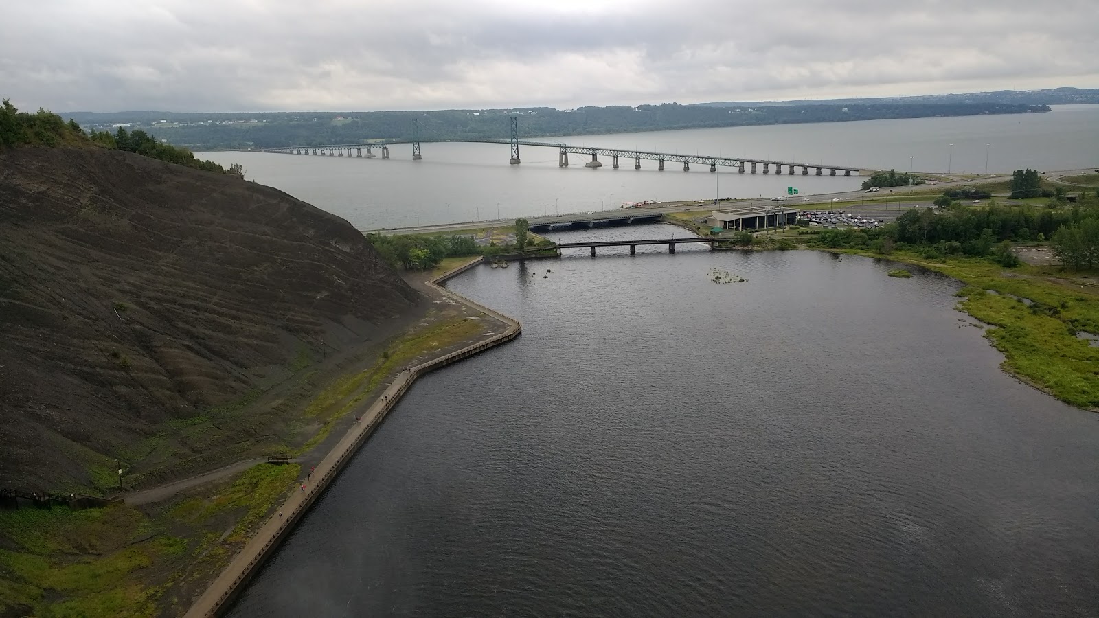
We walked out to the end of the breakwater at St-Jean-Port-Joli

Brian at the site of the geocache at the end of the breakwater


Eole Cap-Chat - tallest vertical axis windmill in the world.
We decided not to pay $20 each for a tour that was not in English.

Porcupine near a geocache in Forillon National Park.

Yes, we found the geocache inside the maple leaf.

We can't resist the ____________ Capital of the World whenever we see one.
This is just up the road from Hartland, NB.

We found the geocache called "Welcome to Potato World" and returned the next morning to see the museum when it opened for the day.
No comments:
Post a Comment