Although we were in Ontario only 6 days, it was a major portion of our Circle Tour around Lake Superior, the largest freshwater lake (by surface area) in the world. I bought a t-shirt that says "Lake Superior - Salt-free and Shark-free." If you have been following our adventures, you know that we like big things and off-beat locations - we found a few of them as well as the majestic, scenic beauty of the lakeshore.
Before getting on the TransCanada Highway, we stopped in Sault Ste. Marie, Michigan to visit the Soo Locks. We arrived just in time to see a huge freighter enter the lock and stayed to watch the process of transitioning into Lake Huron.

Here it comes, inching its way into the lock.

Our view from the third level of the observation platform - looks like no room to spare between the hull of the ship and the pier. This is before it started to be lowered.

At the end of the lowering process - the deck of the ship is now level with the lock wall.

There she goes on the way to Lake Huron.

Well, we just came from Copper Harbor and are headed to Thunder Bay and then Duluth before leaving Lake Superior.

Chippewa Falls, Ontario

Upstream from Chippewa Falls

Algona Bay, Lake Superior
We camped for two days at Lake Superior Provincial Park. The rugged lakeshore reminds me of Cape Breton Highlands in Nova Scotia and rocky headlands of Newfoundland (as do the ubiquitous moose warnings along the TCH).

Cooking breakfast at lovely Katherine Cove, Lake Superior Provincial Park
We embarked on a guided canoe trip to Agawa Rock Pictographs. We were told the water is rarely as calm and flat as it was that morning so God was smiling on us again that day!

Sinclair Cove - rendezvous point for the canoe trip

We paddled in the longer canoe.


You can see how the cliff face of Agawa Rock drops vertically into the lake.

This is as close to the pictographs as we got in the canoe.
We were given shredded tobacco to sprinkle on the water
in the Ojibwe tradition to show respect and express gratitude.


The rest of the group in the smaller canoe.

I am not sure how far below the surface the rocks were, but clear water makes for awesome photos.


After returning to the boat launch, we hiked part of the trail that goes up onto the bluff
and saw the next group of paddlers leave the cove.

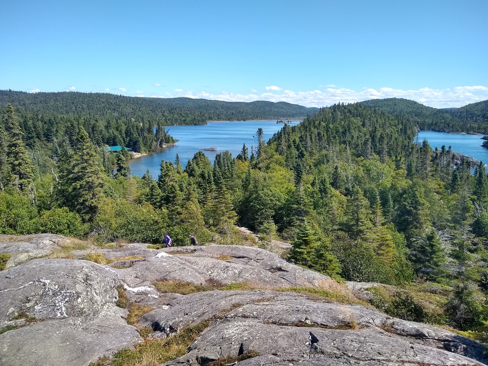
Sights from Trapper's Trail, Lake Superior Provincial Park

We went into the nearby town of Wawa to the Visitor Information Center and to attend mass.

Gitchee Goomie

Wawa means "wild goose" so now we know why the Wawa chain of gas stations has a goose logo.

The Wawa travel brochure says it is "one of the most photographed landmarks in North America" so we obliged. I am not convinced about the veracity of this claim, but now you know what we know.

High Falls on Magpie River near Wawa

Continuing along the lakeshore, we stopped in the town of White River and learned that it is where the story of Winnie the Pooh all began.


Next, we stopped in to visit Pukaskwa National Park for a few hours and hiked the Southern Headland Trail for some fabulous views of Hattie Cove. The visitor center isn't as well-appointed as the ones in the provincial parks and this national park is mostly wilderness that can only be explored on foot or by canoe.

Southern Headland Trail - Pukaskwa National Park

We camped at Neys Provincial Park at the halfway point along the Ontario side of the lake. Our campsite was within sight and sound of the waves. While it seems like oceanside real estate, it is that afore-mentioned salt-free lake. We enjoyed a sunset walk among the driftwood on the beach.


Neys Provincial Park is where a German POW camp in WW II was located. Right after the war, it was used as a temporary relocation facility for previously interned Japanese-Canadians.


Outlook Trail, Neys Provincial Park

Moving westward, we stopped at Aguasabon Falls and Gorge and the town of Nipigon.


Views from the Observation Tower in Nipigon

We made our way down the Sibley Peninsula to Sleeping Giant Provincial Park. The next day was drizzly and cloudy, but we set out on 6 miles of dirt, potholes, and bare rock to the Thunder Bay Lookout. It was worth the drive to get out there!

The viewpoint is on a cantilevered platform 100 meters above Thunder Bay with open slats.


Looking south toward the end of the peninsula and the headlands known as the Sleeping Giant

Looking north

Panoramic view westward across Thunder Bay

The last half mile to the viewpoint is bare rock. Brian cooked breakfast before we
headed down the 6-mile dirt road and returned to pavement.
People often ask if we have an RV - well, this is it . . . everything we need and very little that
we don't need. When no picnic table is available, we place a board across the storage drawer and put the propane stove on it.

Closer view of The Sleeping Giant from our campground. (Use your imagination.)
Seen while geocaching in Canada:

another big goose in Wawa

A blue dinosaur "travel bug" we have been traveling with at the cache named "WTP"
in White River, Ontario

Another set of red chairs in a Canadian National Park


No comments:
Post a Comment